
Laguna Huacsanicocha topographic map
Interactive map
Click on the map to display elevation.
About this map
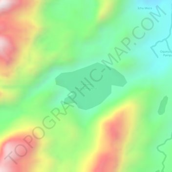
Name: Laguna Huacsanicocha topographic map, elevation, terrain.
Location: Laguna Huacsanicocha, PU-101, Ituata, Carabaya, Puno, Perú (-13.89194 -70.32679 -13.88444 -70.31512)
Average elevation: 4,376 m
Minimum elevation: 4,090 m
Maximum elevation: 4,777 m
Other topographic maps
Click on a map to view its topography, its elevation and its terrain.