
Aïn Diss topographic map
Interactive map
Click on the map to display elevation.
About this map
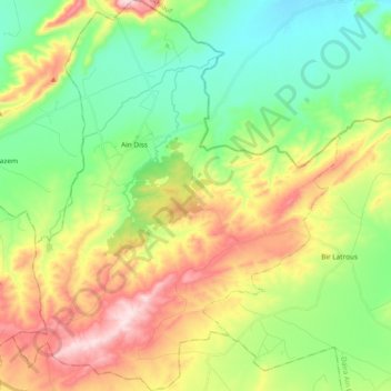
Name: Aïn Diss topographic map, elevation, terrain.
Location: Aïn Diss, Daïra Aïn Babouche, Oum El Bouaghi, Algérie (35.93748 6.94399 36.08989 7.10349)
Average elevation: 939 m
Minimum elevation: 781 m
Maximum elevation: 1,190 m