
Gavinton topographic map
Click on the map to display elevation.
About this map
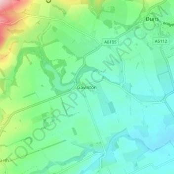
Name: Gavinton topographic map, elevation, terrain.
Location: Gavinton, Scottish Borders, Scotland, TD11 3QR, United Kingdom (55.74209 -2.39062 55.78209 -2.35062)
Average elevation: 132 m
Minimum elevation: 80 m
Maximum elevation: 300 m