
The River Nile topographic map
Interactive map
Click on the map to display elevation.
About this map
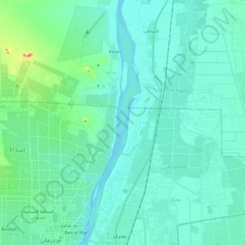
Name: The River Nile topographic map, elevation, terrain.
Location: The River Nile, Bahri, Khartoum State, Sudan (15.63961 32.50284 15.83424 32.55257)
Average elevation: 389 m
Minimum elevation: 372 m
Maximum elevation: 496 m