
Thank you for supporting this site ❤️
Make a donation
Make a donation
La Floresta topographic map
Click on the map to display elevation.
Thank you for supporting this site ❤️
Make a donation
Make a donation
About this map
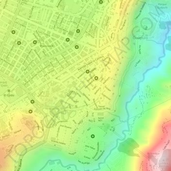
Name: La Floresta topographic map, elevation, terrain.
Location: La Floresta, Mariscal Sucre, Quito, Pichincha, Ecuador (-0.21473 -78.49387 -0.20357 -78.47641)
Average elevation: 2,771 m
Minimum elevation: 2,528 m
Maximum elevation: 3,047 m
Thank you for supporting this site ❤️
Make a donation
Make a donation