
Canda topographic map
Interactive map
Click on the map to display elevation.
About this map
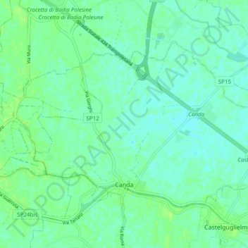
Name: Canda topographic map, elevation, terrain.
Location: Canda, Rovigo, Véneto, Itália (45.02950 11.47791 45.06539 11.55382)
Average elevation: 8 m
Minimum elevation: 3 m
Maximum elevation: 14 m