
盘龙江 topographic map
Interactive map
Click on the map to display elevation.
About this map
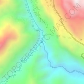
Name: 盘龙江 topographic map, elevation, terrain.
Location: 盘龙江, 麻栗坡县, 文山壮族苗族自治州, 云南省, 中国 (22.99220 104.77293 22.99229 104.77298)
Average elevation: 512 m
Minimum elevation: 175 m
Maximum elevation: 1,030 m
Other topographic maps
Click on a map to view its topography, its elevation and its terrain.