
Gober topographic map
Interactive map
Click on the map to display elevation.
About this map
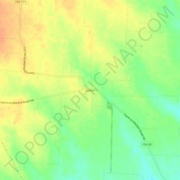
Name: Gober topographic map, elevation, terrain.
Location: Gober, Fannin County, Texas, 75443, United States (33.44910 -96.10936 33.48910 -96.06936)
Average elevation: 199 m
Minimum elevation: 177 m
Maximum elevation: 216 m