
Thank you for supporting this site ❤️
Make a donation
Make a donation
Sugar Bowl topographic map
Click on the map to display elevation.
Thank you for supporting this site ❤️
Make a donation
Make a donation
About this map
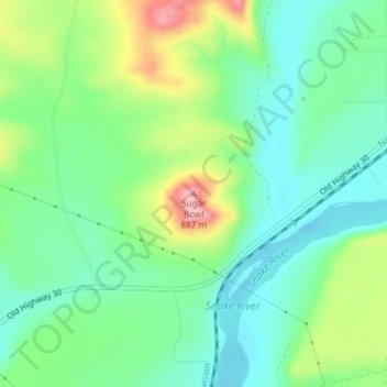
Name: Sugar Bowl topographic map, elevation, terrain.
Location: Sugar Bowl, Elmore County, Idaho, 83633, United States (42.99318 -115.24206 42.99328 -115.24196)
Average elevation: 799 m
Minimum elevation: 757 m
Maximum elevation: 884 m
Thank you for supporting this site ❤️
Make a donation
Make a donation
Other topographic maps
Click on a map to view its topography, its elevation and its terrain.
Mountain Home
United States > Idaho > Elmore County
Mountain Home is located at 43°8′13″N 115°41′40″W / 43.13694°N 115.69444°W / 43.13694; -115.69444 (43.136812, -115.694474), at an elevation of 3,146 feet (959 m) above sea level.
Average elevation: 967 m