
Hulshout topographic map
Interactive map
Click on the map to display elevation.
About this map
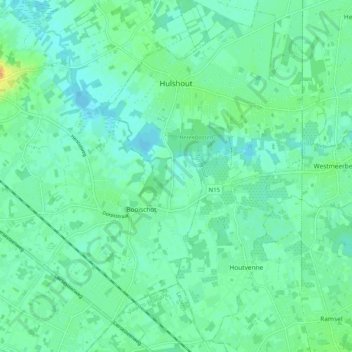
Name: Hulshout topographic map, elevation, terrain.
Location: Hulshout, Antwerpen, Vlaanderen, 2235, België (51.02832 4.76687 51.08858 4.86884)
Average elevation: 11 m
Minimum elevation: 3 m
Maximum elevation: 33 m