
Thank you for supporting this site ❤️
Make a donation
Make a donation
Ouguela topographic map
Click on the map to display elevation.
Thank you for supporting this site ❤️
Make a donation
Make a donation
About this map
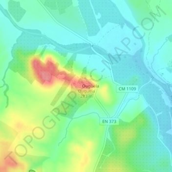
Name: Ouguela topographic map, elevation, terrain.
Location: Ouguela, Campo Maior, Portalegre, 7370-200, Portugal (39.07891 -7.03161 39.07901 -7.03151)
Average elevation: 221 m
Minimum elevation: 196 m
Maximum elevation: 277 m
Thank you for supporting this site ❤️
Make a donation
Make a donation