
阿察镇 topographic map
Interactive map
Click on the map to display elevation.
About this map
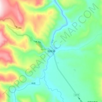
Name: 阿察镇 topographic map, elevation, terrain.
Location: 阿察镇, 白玉县, 甘孜藏族自治州, 四川省, 中国 (31.00306 99.53680 31.08306 99.61680)
Average elevation: 4,048 m
Minimum elevation: 3,834 m
Maximum elevation: 4,516 m
Other topographic maps
Click on a map to view its topography, its elevation and its terrain.