
Great Coxwell topographic map
Interactive map
Click on the map to display elevation.
About this map
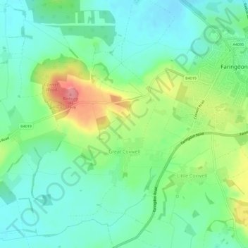
Name: Great Coxwell topographic map, elevation, terrain.
Average elevation: 108 m
Minimum elevation: 78 m
Maximum elevation: 174 m
Other topographic maps
Click on a map to view its topography, its elevation and its terrain.
Faringdon
Vereinigtes Königreich > England > Oxfordshire > Vale of White Horse
Faringdon, Vale of White Horse, Oxfordshire, England, SN7 7HL, Vereinigtes Königreich
Average elevation: 91 m