
Thank you for supporting this site ❤️
Make a donation
Make a donation
Belle-Vue topographic map
Click on the map to display elevation.
Thank you for supporting this site ❤️
Make a donation
Make a donation
About this map
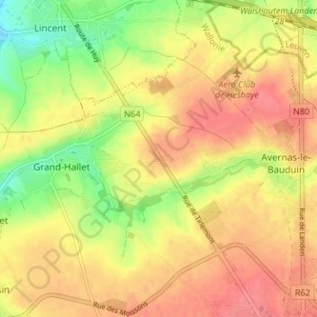
Name: Belle-Vue topographic map, elevation, terrain.
Location: Belle-Vue, Hannut, Waremme, Liège, Wallonie, 4280, Belgique (50.67514 5.03350 50.71514 5.07350)
Average elevation: 117 m
Minimum elevation: 80 m
Maximum elevation: 141 m
Thank you for supporting this site ❤️
Make a donation
Make a donation
Other topographic maps
Click on a map to view its topography, its elevation and its terrain.