
Thank you for supporting this site ❤️
Make a donation
Make a donation
Chesterfield topographic map
Click on the map to display elevation.
Thank you for supporting this site ❤️
Make a donation
Make a donation
About this map
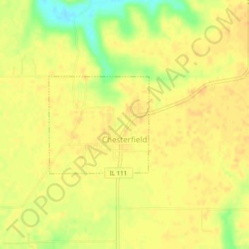
Name: Chesterfield topographic map, elevation, terrain.
Location: Chesterfield, Macoupin County, Illinois, United States (39.25132 -90.07379 39.26186 -90.05973)
Average elevation: 180 m
Minimum elevation: 158 m
Maximum elevation: 186 m
Thank you for supporting this site ❤️
Make a donation
Make a donation
Other topographic maps
Click on a map to view its topography, its elevation and its terrain.