
浍河 topographic map
Interactive map
Click on the map to display elevation.
About this map
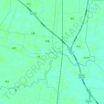
Name: 浍河 topographic map, elevation, terrain.
Location: 浍河, 永城市, 商丘市, 河南省, 中国 (33.79463 116.34210 33.82005 116.44223)
Average elevation: 33 m
Minimum elevation: 29 m
Maximum elevation: 36 m
Other topographic maps
Click on a map to view its topography, its elevation and its terrain.