
大浪街道 topographic map
Interactive map
Click on the map to display elevation.
About this map
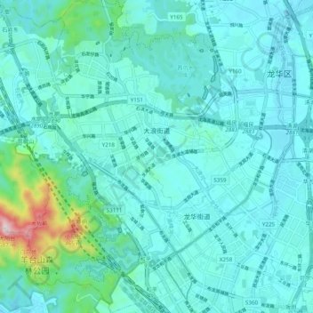
Name: 大浪街道 topographic map, elevation, terrain.
Location: 大浪街道, 龙华区, 深圳市, 广东省, 518110, 中国 (22.63116 113.96143 22.72013 114.01746)
Average elevation: 99 m
Minimum elevation: 31 m
Maximum elevation: 557 m
Other topographic maps
Click on a map to view its topography, its elevation and its terrain.