
Sidi Mtir topographic map
Interactive map
Click on the map to display elevation.
About this map
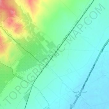
Name: Sidi Mtir topographic map, elevation, terrain.
Location: Sidi Mtir, سيدي مطير, معتمدية بوفيشة, Sousse, Tunisia (36.33767 10.45861 36.37767 10.49861)
Average elevation: 27 m
Minimum elevation: 3 m
Maximum elevation: 91 m