
红花街道 topographic map
Interactive map
Click on the map to display elevation.
About this map
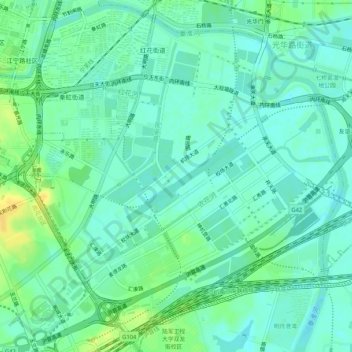
Name: 红花街道 topographic map, elevation, terrain.
Location: 红花街道, 秦淮区, 南京市, 江苏省, 中国 (31.97673 118.78665 32.01658 118.83891)
Average elevation: 11 m
Minimum elevation: 3 m
Maximum elevation: 26 m
Other topographic maps
Click on a map to view its topography, its elevation and its terrain.