
河北头村 topographic map
Interactive map
Click on the map to display elevation.
About this map
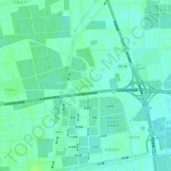
Name: 河北头村 topographic map, elevation, terrain.
Location: 河北头村, 大兴区, 北京市, 中国 (39.55687 116.44302 39.59687 116.48302)
Average elevation: 27 m
Minimum elevation: 23 m
Maximum elevation: 32 m
Other topographic maps
Click on a map to view its topography, its elevation and its terrain.