
Khandbari topographic map
Click on the map to display elevation.
About this map
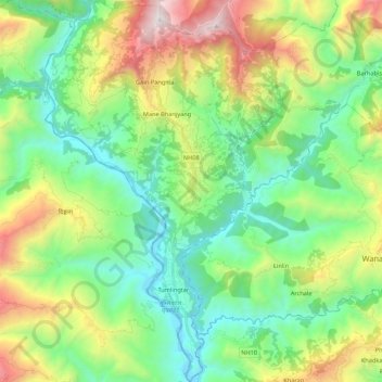
Name: Khandbari topographic map, elevation, terrain.
Location: Khandbari, Sankhuwasabha, Koshi Province, Nepal (27.27092 87.12400 27.46240 87.25768)
Average elevation: 857 m
Minimum elevation: 273 m
Maximum elevation: 2,160 m
Other topographic maps
Click on a map to view its topography, its elevation and its terrain.