
Thank you for supporting this site ❤️
Make a donation
Make a donation
La Possession topographic map
Click on the map to display elevation.
Thank you for supporting this site ❤️
Make a donation
Make a donation
About this map
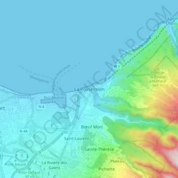
Name: La Possession topographic map, elevation, terrain.
Location: La Possession, Saint-Paul, La Réunion, 97419, France (-20.96697 55.29628 -20.88697 55.37628)
Average elevation: 141 m
Minimum elevation: -1 m
Maximum elevation: 999 m
Thank you for supporting this site ❤️
Make a donation
Make a donation