
Thank you for supporting this site ❤️
Make a donation
Make a donation
Ripley topographic map
Click on the map to display elevation.
Thank you for supporting this site ❤️
Make a donation
Make a donation
About this map
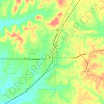
Name: Ripley topographic map, elevation, terrain.
Location: Ripley, Tippah County, Mississippi, 38663, United States (34.70662 -88.99386 34.76043 -88.90327)
Average elevation: 157 m
Minimum elevation: 128 m
Maximum elevation: 190 m
Thank you for supporting this site ❤️
Make a donation
Make a donation
Other topographic maps
Click on a map to view its topography, its elevation and its terrain.