
雷镇 topographic map
Interactive map
Click on the map to display elevation.
About this map
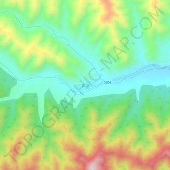
Name: 雷镇 topographic map, elevation, terrain.
Location: 雷镇, 渭南市, 陕西省, 中国 (35.65697 110.25790 35.69697 110.29790)
Average elevation: 1,104 m
Minimum elevation: 913 m
Maximum elevation: 1,436 m