
Oto topographic map
Interactive map
Click on the map to display elevation.
About this map
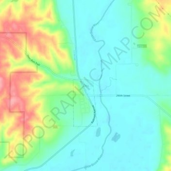
Name: Oto topographic map, elevation, terrain.
Location: Oto, Woodbury County, Iowa, 51044, Estados Unidos de América (42.26616 -95.91391 42.30616 -95.87391)
Average elevation: 355 m
Minimum elevation: 322 m
Maximum elevation: 426 m