
腮汉沟村 topographic map
Interactive map
Click on the map to display elevation.
About this map
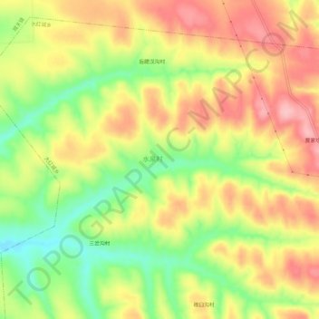
Name: 腮汉沟村 topographic map, elevation, terrain.
Location: 腮汉沟村, 大红城乡, 和林格尔县, 水泉村, 呼和浩特市, 内蒙古自治区, 中国 (40.28647 111.77990 40.32647 111.81990)
Average elevation: 1,240 m
Minimum elevation: 1,164 m
Maximum elevation: 1,305 m