
富东乡 topographic map
Interactive map
Click on the map to display elevation.
About this map
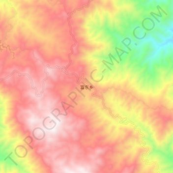
Name: 富东乡 topographic map, elevation, terrain.
Location: 富东乡, 澜沧拉祜族自治县, Pu’er, Yunnan, 665000, China (23.08530 99.95620 23.16530 100.03620)
Average elevation: 1,926 m
Minimum elevation: 1,288 m
Maximum elevation: 2,346 m