
Thank you for supporting this site ❤️
Make a donation
Make a donation
Smoky topographic map
Click on the map to display elevation.
Thank you for supporting this site ❤️
Make a donation
Make a donation
About this map
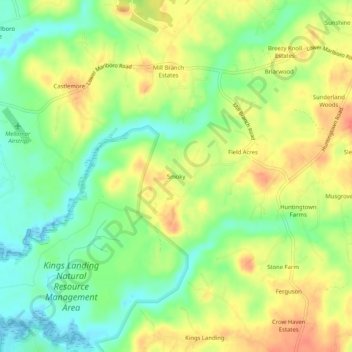
Name: Smoky topographic map, elevation, terrain.
Location: Smoky, Calvert County, Maryland, 21689, United States (38.62651 -76.67080 38.66651 -76.63080)
Average elevation: 24 m
Minimum elevation: -3 m
Maximum elevation: 49 m
Thank you for supporting this site ❤️
Make a donation
Make a donation