
Thank you for supporting this site ❤️
Make a donation
Make a donation
Whitley City topographic map
Click on the map to display elevation.
Thank you for supporting this site ❤️
Make a donation
Make a donation
About this map
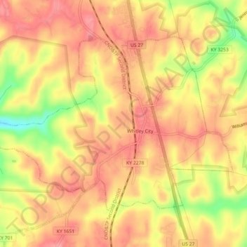
Name: Whitley City topographic map, elevation, terrain.
Location: Whitley City, McCreary County, Kentucky, United States (36.71193 -84.49827 36.73704 -84.45376)
Average elevation: 390 m
Minimum elevation: 328 m
Maximum elevation: 420 m
Thank you for supporting this site ❤️
Make a donation
Make a donation