
Thank you for supporting this site ❤️
Make a donation
Make a donation
't Goy topographic map
Click on the map to display elevation.
Thank you for supporting this site ❤️
Make a donation
Make a donation
About this map
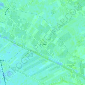
Name: 't Goy topographic map, elevation, terrain.
Location: 't Goy, Houten, Utrecht, Nederland (51.98588 5.18984 52.01745 5.25621)
Average elevation: 3 m
Minimum elevation: -4 m
Maximum elevation: 8 m
Thank you for supporting this site ❤️
Make a donation
Make a donation
Other topographic maps
Click on a map to view its topography, its elevation and its terrain.