
N'Gaous topographic map
Interactive map
Click on the map to display elevation.
About this map
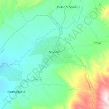
Name: N'Gaous topographic map, elevation, terrain.
Location: N'Gaous, Daïra N'Gaous, Batna, 05600, Algérie (35.50267 5.50502 35.59991 5.67134)
Average elevation: 824 m
Minimum elevation: 624 m
Maximum elevation: 1,558 m
La ville de N'Gaous se situe dans une région montagneuse, à 770 m d'altitude, proche du massif montagneux de Belezma.