
长安路街道 topographic map
Interactive map
Click on the map to display elevation.
About this map
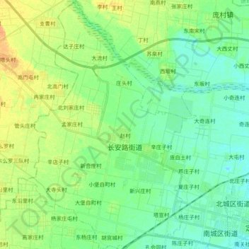
Name: 长安路街道 topographic map, elevation, terrain.
Location: 长安路街道, 定州市, 保定市, 河北省, 中国 (38.50020 114.84958 38.62497 114.94976)
Average elevation: 65 m
Minimum elevation: 54 m
Maximum elevation: 83 m
Other topographic maps
Click on a map to view its topography, its elevation and its terrain.