
Vieringhausen topographic map
Interactive map
Click on the map to display elevation.
About this map
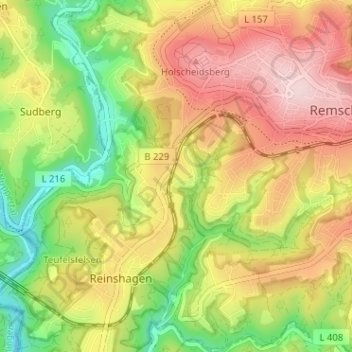
Name: Vieringhausen topographic map, elevation, terrain.
Average elevation: 237 m
Minimum elevation: 101 m
Maximum elevation: 371 m
Other topographic maps
Click on a map to view its topography, its elevation and its terrain.
Remscheid
Deutschland > Nordrhein-Westfalen > Remscheid
Remscheid, Nordrhein-Westfalen, 42853, Deutschland
Average elevation: 224 m