
白庙村 topographic map
Interactive map
Click on the map to display elevation.
About this map
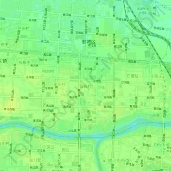
Name: 白庙村 topographic map, elevation, terrain.
Location: 白庙村, 郾城区, 漯河市, 河南省, 中国 (33.57105 113.99114 33.61105 114.03114)
Average elevation: 62 m
Minimum elevation: 53 m
Maximum elevation: 67 m
Other topographic maps
Click on a map to view its topography, its elevation and its terrain.