
Barrage de Tichy Haf (Tensaout) topographic map
Interactive map
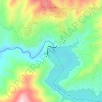
Click on the map to display elevation.
About this map
Name: Barrage de Tichy Haf (Tensaout) topographic map, elevation, terrain.
Average elevation: 380 m
Minimum elevation: 235 m
Maximum elevation: 662 m