
Prince George Land topographic map
Interactive map
Click on the map to display elevation.
About this map
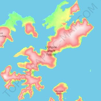
Name: Prince George Land topographic map, elevation, terrain.
Average elevation: 61 m
Minimum elevation: -1 m
Maximum elevation: 424 m
Other topographic maps
Click on a map to view its topography, its elevation and its terrain.
MacKlintok Island
Francis Joseph's Land > Arkhangelsk Oblast
MacKlintok Island, Primorsky District, Arkhangelsk Oblast, Northwestern Federal District, Francis Joseph's Land
Average elevation: 127 m
Nordenskjold Glacier
Francis Joseph's Land > Arkhangelsk Oblast
Nordenskjold Glacier, Primorsky District, Arkhangelsk Oblast, Northwestern Federal District, Francis Joseph's Land
Average elevation: 222 m
Kuhn Island
Francis Joseph's Land > Arkhangelsk Oblast
Kuhn Island, Primorsky District, Arkhangelsk Oblast, Northwestern Federal District, Francis Joseph's Land
Average elevation: 28 m
Alexandra Land
Francis Joseph's Land > Arkhangelsk Oblast
Alexandra Land, Primorsky District, Arkhangelsk Oblast, Northwestern Federal District, Francis Joseph's Land
Average elevation: 45 m