
Cava Grande topographic map
Interactive map
Click on the map to display elevation.
About this map
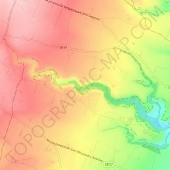
Name: Cava Grande topographic map, elevation, terrain.
Location: Cava Grande, Rosolini, SR, Sicília, Itália (36.83644 14.86024 36.85547 14.90404)
Average elevation: 322 m
Minimum elevation: 204 m
Maximum elevation: 388 m