
La Guéroulde topographic map
Interactive map
Click on the map to display elevation.
About this map
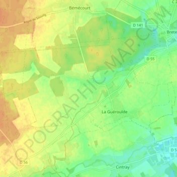
Name: La Guéroulde topographic map, elevation, terrain.
Average elevation: 179 m
Minimum elevation: 163 m
Maximum elevation: 193 m
Other topographic maps
Click on a map to view its topography, its elevation and its terrain.
Le Bois Richet
France > Normandie > Eure > Breteuil
Le Bois Richet, Cintray, Breteuil, Bernay, Eure, Normandie, France métropolitaine, 27160, France
Average elevation: 174 m