
Thank you for supporting this site ❤️
Make a donation
Make a donation
Punt topographic map
Click on the map to display elevation.
Thank you for supporting this site ❤️
Make a donation
Make a donation
About this map
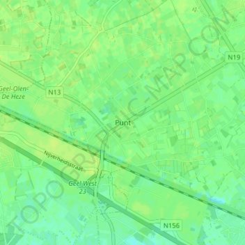
Name: Punt topographic map, elevation, terrain.
Location: Punt, Geel, Turnhout, Anvers, Flandre, Belgique (51.12184 4.92533 51.16184 4.96533)
Average elevation: 21 m
Minimum elevation: 13 m
Maximum elevation: 26 m
Thank you for supporting this site ❤️
Make a donation
Make a donation