
Wallace topographic map
Interactive map
Click on the map to display elevation.
About this map
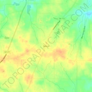
Name: Wallace topographic map, elevation, terrain.
Location: Wallace, Pulaski County, Georgia, United States (32.17711 -83.51712 32.21711 -83.47712)
Average elevation: 88 m
Minimum elevation: 67 m
Maximum elevation: 103 m