
Thank you for supporting this site ❤️
Make a donation
Make a donation
Nethe topographic map
Click on the map to display elevation.
Thank you for supporting this site ❤️
Make a donation
Make a donation
About this map
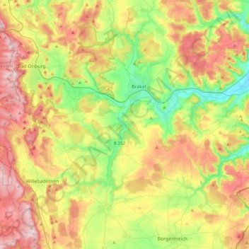
Name: Nethe topographic map, elevation, terrain.
Location: Nethe, Kreis Höxter, North Rhine-Westphalia, Germany (51.62238 8.99151 51.73819 9.37831)
Average elevation: 250 m
Minimum elevation: 99 m
Maximum elevation: 442 m
Thank you for supporting this site ❤️
Make a donation
Make a donation
Other topographic maps
Click on a map to view its topography, its elevation and its terrain.