
Felton topographic map
Click on the map to display elevation.
About this map
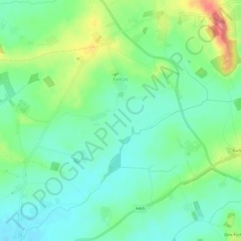
Name: Felton topographic map, elevation, terrain.
Location: Felton, Herefordshire, England, United Kingdom (52.11631 -2.65471 52.13760 -2.60225)
Average elevation: 82 m
Minimum elevation: 58 m
Maximum elevation: 134 m