
弗拉季高加索 topographic map
Interactive map
Click on the map to display elevation.
About this map
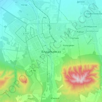
Name: 弗拉季高加索 topographic map, elevation, terrain.
Location: 弗拉季高加索, городской округ Владикавказ, 北奥塞梯—阿兰共和国, 北高加索联邦管区, 俄罗斯 (42.96359 44.60434 43.08678 44.74187)
Average elevation: 734 m
Minimum elevation: 599 m
Maximum elevation: 1,221 m