
Doli topographic map
Interactive map
Click on the map to display elevation.
About this map
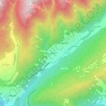
Name: Doli topographic map, elevation, terrain.
Average elevation: 1,580 m
Minimum elevation: 1,110 m
Maximum elevation: 2,220 m
Other topographic maps
Click on a map to view its topography, its elevation and its terrain.
Tskhekvani
Georgia > Samegrelo-Upper Svaneti > Mestia Municipality > Becho
Tskhekvani, Becho, Mestia Municipality, Samegrelo-Upper Svaneti, 3210, Georgia
Average elevation: 1,686 m