
Shangla topographic map
Interactive map
Click on the map to display elevation.
About this map
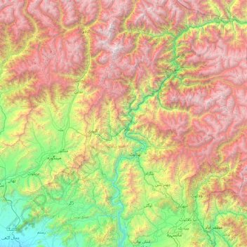
Name: Shangla topographic map, elevation, terrain.
Location: Shangla, Khyber Pakhtunkhwa, 20500, Pakistan (34.25694 72.14806 35.65694 73.54806)
Average elevation: 2,317 m
Minimum elevation: 320 m
Maximum elevation: 5,490 m
Other topographic maps
Click on a map to view its topography, its elevation and its terrain.