
Dahlen topographic map
Interactive map
Click on the map to display elevation.
About this map
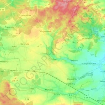
Name: Dahlen topographic map, elevation, terrain.
Location: Dahlen, Nordsachsen, Sachsen, 04774, Deutschland (51.31448 12.90228 51.43304 13.07286)
Average elevation: 154 m
Minimum elevation: 110 m
Maximum elevation: 216 m