
Thank you for supporting this site ❤️
Make a donation
Make a donation
Catherine Creek topographic map
Click on the map to display elevation.
Thank you for supporting this site ❤️
Make a donation
Make a donation
About this map
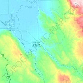
Name: Catherine Creek topographic map, elevation, terrain.
Location: Catherine Creek, Union County, Oregon, United States (45.11384 -117.93721 45.31449 -117.64791)
Average elevation: 1,100 m
Minimum elevation: 818 m
Maximum elevation: 2,167 m
Thank you for supporting this site ❤️
Make a donation
Make a donation
Other topographic maps
Click on a map to view its topography, its elevation and its terrain.