
Evolène topographic map
Interactive map
Click on the map to display elevation.
About this map
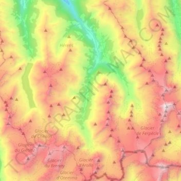
Name: Evolène topographic map, elevation, terrain.
Location: Evolène, Hérens, Valais/Wallis, 1983, Suíça (45.95490 7.42553 46.14706 7.61195)
Average elevation: 2,697 m
Minimum elevation: 1,129 m
Maximum elevation: 4,350 m