
Thank you for supporting this site ❤️
Make a donation
Make a donation
Santa Cruz topographic map
Click on the map to display elevation.
Thank you for supporting this site ❤️
Make a donation
Make a donation
About this map
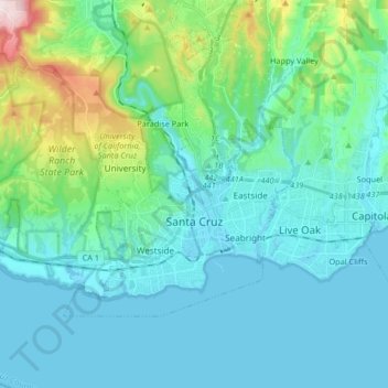
Name: Santa Cruz topographic map, elevation, terrain.
Location: Santa Cruz, Santa Cruz County, California, USA (36.94808 -122.15130 37.02515 -121.98676)
Average elevation: 93 m
Minimum elevation: -1 m
Maximum elevation: 539 m
Thank you for supporting this site ❤️
Make a donation
Make a donation