
Logan topographic map
Interactive map
Click on the map to display elevation.
About this map
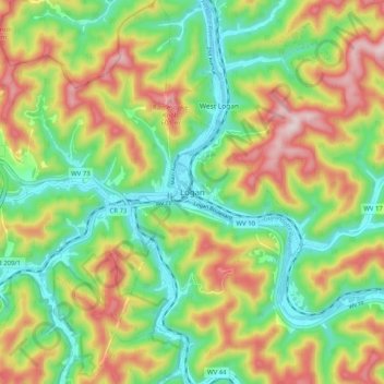
Name: Logan topographic map, elevation, terrain.
Location: Logan, Logan County, West Virginia, 25653, United States (37.80878 -82.03322 37.88878 -81.95322)
Average elevation: 363 m
Minimum elevation: 192 m
Maximum elevation: 613 m